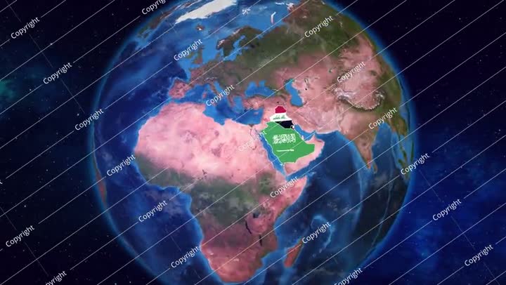
The geographical borders of the country, the location of the State of Saudi Arabia among the countries of the world, the countries neighboring the Kingdom of Saudi Arabia, a map of the Arab world on the globe in blue
No description available
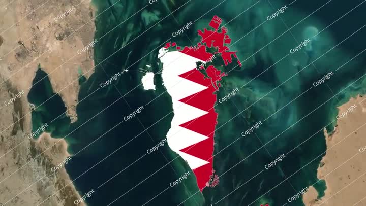
Bahrain national flag background illustration. Symbol of country
No description available
FLAGS OF BAHRAIN AND LATVIA ON TABLE
No description available
FLAGS OF BAHRAIN AND EGYPT ON TABLE
No description available
Bahrain flag painted on old wood plank background. Brushed natural light knotted
No description available
Bahrain flag depicted in bright paint colors on old relief plastering wall. T