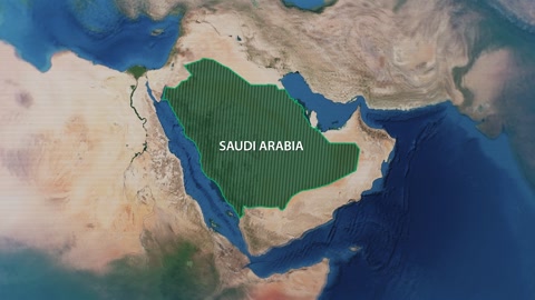
World Wide Web connectivity, digital development and technological growth in the field of artificial intelligence, three-dimensional holographic drawings of a map of the world on the globe, modern digital technology, animated visual effects, Saudi future vision 2030, science fiction background
No description available
Global network connectivity, digital development and technological growth in the field of artificial intelligence, three-dimensional holographic drawings of the map of Saudi Arabia and the Arabian Gulf, effective communication between the countries of the Arab Gulf, a Saudi future vision 2030
No description available
The geographical borders of the country on the map of the Arabian Peninsula, the location of the Kingdom of Saudi Arabia among the countries of the world, oceans, land and water nature
No description available
The geographical borders of the country, Bahrain’s location among the countries of the world, land and water borders of the city, illustrations of Bahrain’s cities, white background.
No description available
The location of the Kingdom of Saudi Arabia among the countries of the world, the countries neighboring the Kingdom of Saudi Arabia, the map of the Arab world on the globe in blue, the geographical borders of the country
No description available
Digital development and technological growth in the field of artificial intelligence, global network connectivity, 3D holograms of the map of the Kingdom of Saudi Arabia, future vision 2030
Vector map of the governorates of the Asir region, the Kingdom of Saudi Arabia, gray background, Vector Illustrator
No description available
Map of the Abha region in the Kingdom of Saudi Arabia, the geographical borders of the country, the heritage Al-Ula Governorate, black background, vector Illustrator
No description available
Saudi Arabia on Earth from space
No description available
Saudi Arabia in the evening
No description available
Saudi Arabia outlined on a Grayscale elevation map with lakes and rivers
No description available
Saudi Arabia outlined on a high resolution satellite map