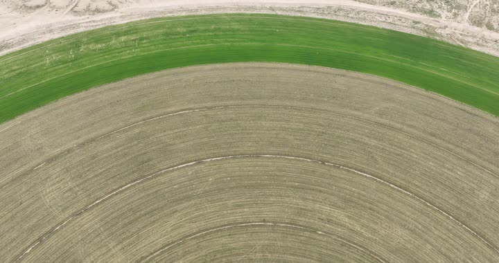
An aerial photograph of circular agricultural fields, an agricultural axis, circular fields, green farms, the science of agriculture, the development of agriculture
No description available
A Saudi national product, green plants and meadows in the spring, an aerial photograph of circular agricultural fields, lands and local crops in the Kingdom of Saudi Arabia, the progress and development of the agricultural sector, the cultivation of natur
No description available
Trees and plants in agricultural lands and wide green spaces, an aerial photo of the Abha region in the city of Asir, famous cities and natural tourist places in the Kingdom of Saudi Arabia
No description available
Displaying local products, colored peppers arranged in a circular shape on a marble surface, fresh vegetables and fruits picked from the Kingdom’s farms, luxurious Saudi national crops.
No description available
Advanced architectural engineering for commercial and residential facilities and towers in Jumeirah Beach, a distinctive circular glass skyscraper in Dubai Marina, luxury buildings and resorts in the United Arab Emirates
Vector night view, Desert beauty, Arabian desert in Saudi Arabia, Desert Ship, Vector Alistair.
No description available
The concept of satisfaction and acceptance, a design for a cartoon character of a Saudi Arabian Gulf businessman wearing a shemagh and traditional thobe, raising his thumb upwards with a gesture of admiration within a circular frame, white background, vector Illustrator
No description available
Aerial view of abstract massive sand dunes covered by thick fog clouds at
No description available
Saudi Arabia from space in evening
No description available
Orbit view of Saudi Arabia
No description available
3d illustration of Saudi Arabia Topographic Map, 3d realistic map isolated on