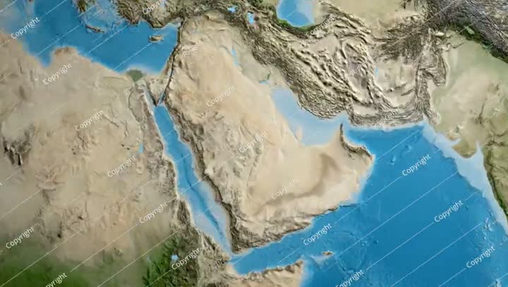
Virtual tour by satellite, technical development by space means in the Kingdom of Saudi Arabia, HyperLabs from the satellite map of the city of Riyadh, aerial photography of the geographical location on the planet Earth.
Creative photography of outer space, luminous stars in the sky, science fiction, space science, satellites, planet Earth, a group of luminous solar stars in space at night, Vision 2030, future vision
No description available
Two Saudi Arabian Gulf energy engineers supervising solar power plants in Saudi Arabia, wearing a helmet and work protection jacket, dialogues and discussions, engineering plans and designs, renewable energy, clean energy, natural energy, satellite, solar
No description available
A picture from the back of a girl putting the flag of the Kingdom of Saudi Arabia on her back, celebrating the Saudi National Day 92, the future of Saudi Arabia, Flag Day, power plants through solar energy, satellites and renewable natural energy panels,
No description available
Supervising the work of satellites, following up the satellite's communication with outer space, tracking the movement of planets and stars via satellite, astronomy and space, a back image of two Saudi Arabian Gulf engineers wearing a helmet and a special
No description available
Follow-up of satellite communication with outer space, supervising the work of satellites, tracking the movement of planets and stars via satellite, astronomy and space, a back image of two Saudi Arabian Gulf engineers wearing helmets and special protecti