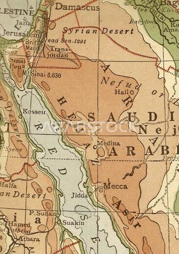
A vintage/antique geographical map in sepia showing Saudi Arabia and the Red Sea.
No description available
pinned saudi arabia
No description available
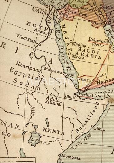
A vintage/antique political map in sepia showing Egypt and Saudi Arabia.
No description available
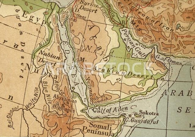
Antique geographical map in sepia of Egypt and Saudi Arabia.
No description available
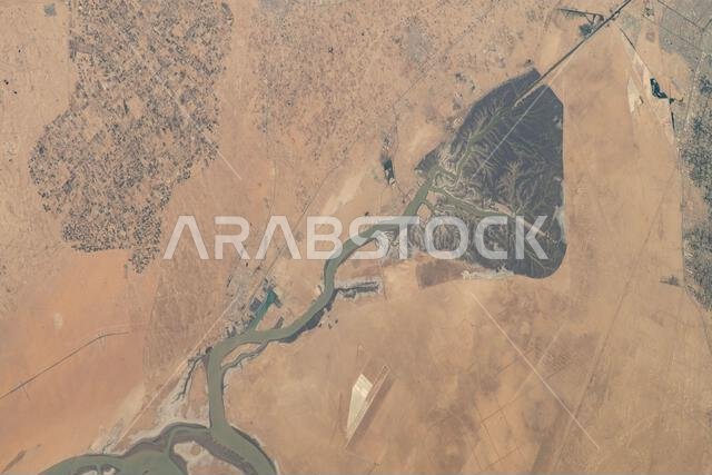
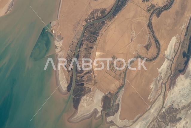
The Khawr az-Zubayr Waterway separates Kuwait and Iraq along the Persian Gulf. Abdali is a desert town in Kuwait, while Abu Al-Khaseeb is an agricultural town in Iraq. The image was captured from the International Space Station orbiting 262 miles above Saudi Arabia near Bahrain.
No description available
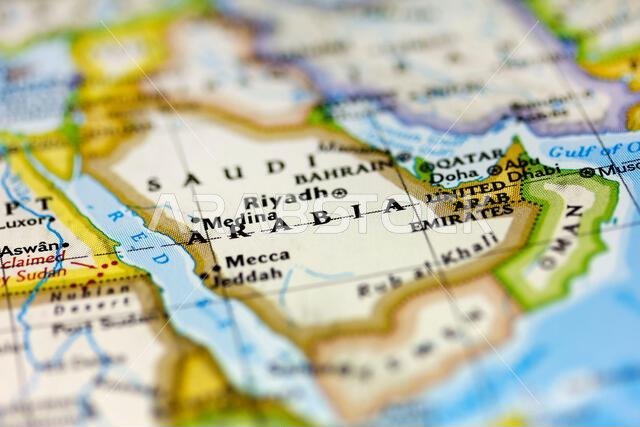
Saudi Arabia on the map.
No description available
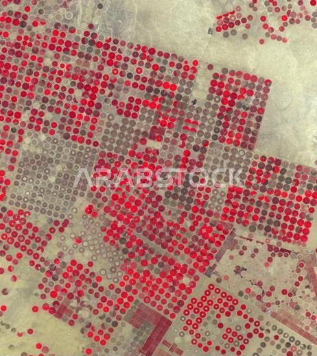
Al Jowf Province in northwestern Saudi Arabia hosts large-scale agriculture irrigated by fossil groundwater. Over 30 years, irrigated fields expanded from 22 to thousands, supporting date palms and olive trees. Landsat and ASTER images from 1989 and 2020 show a 33.2 by 49 km area at 30.1°N, 38.3°E.
No description available
The Arvand Roud River forms part of the border between Iraq and Iran and flows into the Persian Gulf. The Bahmanshir River in Iran also drains into the Persian Gulf. This image was taken from the International Space Station orbiting 262 miles above Saudi Arabia near Bahrain.
No description available
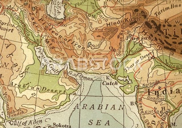
Antique geographical map in sepia of the Arabian Sea, India and Saudi Arabia.
No description available
of 1
We use cookies to provide for you a better experience. For more information check our Cookie policy.